Kings Peak
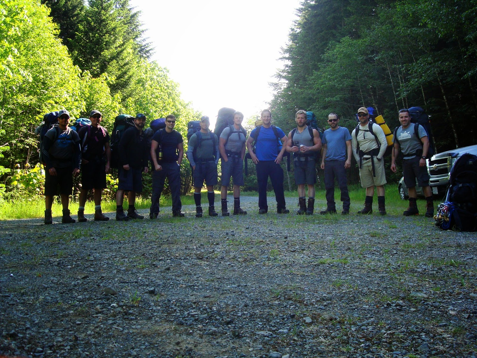
June 6-8 was the second annual "Take-a-hike" hill climb, this time up Kings Peak, Elevation 2,065m (6,775ft) Strathcona Park, Vancouver Island. The island's eighth highest peak located in the Elk River Range provided some varied and difficult terrain. Approaching the main glacier required crossing the stream/river several times, lots of tree roots with some steep sections, waterfalls, logs, getting lost in the bush but safely backtracking to find our way again. We made a nice camp ground in a wooded area where we rested Friday night before gearing up Saturday morn with crampons and ice axes for the ascension to the summit. Firm snow and sun made for an easy trek up the main col where we split up into two groups. One group, with harnesses, headed towards the face or north ridge, to climb the main mountain almost vertically. The second group headed towards what is called Queen's Peak - the easier/safer hikers route. It was here I was able to catch a glimpse of the mightly Elkhorn Mountain, the island's second highest peak, just before the clouds rolled in. This was definitely one of my most favourite and memorable experiences.


See all photos here: https://www.flickr.com/photos/keithribeiro/sets/72157644941367350/

.JPG)

Comments
Post a Comment